New research out of UW’s Prugh Lab, led by PhD student Katie Breen, uses time-lapse imagery and a deep learning model to extract snow depth quickly and affordably
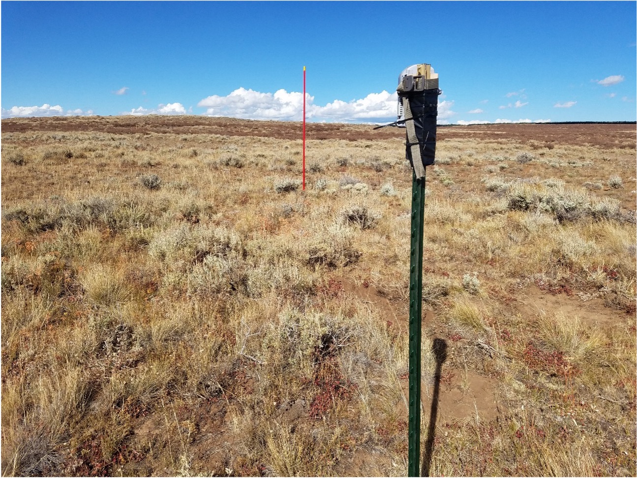 Researchers worldwide set up “snow depth poles,” whereby they put a measuring pole in front of a camera, in places that lack a weather station or when the use of LiDAR may be cost prohibitive. The research team’s keypoint detection model can accelerate snow depth pole automation which up until now has required time intensive manual photo processing. This snowpole keypoint detection model integrates computer vision algorithms with snow pole photography to observe snow height across a network of sites. An exciting step as it’s the first model to be automated and transferable to a multitude of data sets.
This snow depth extraction model will allow researchers to measure snow depth in remote places where it’s needed most, like the tundra, boreal forests, or high mountain areas, places where it’s difficult to install a weather station. In these areas, snow depth data is crucial for understanding water availability, predicting and forecasting floods, and determining snow impacts on wildlife.
As snow is getting more and more variable in the face of climate change, snow poles offer important data which is increasingly critical for understanding wildlife movement and behavior in relation to snow depth, and the various trade-offs animals make under different snow conditions.
Read the paper in Water Resources Research here.
Learn more about Katie Breen’s research on her website.