SEFS researchers awarded grant through NSF Convergence Accelerator Program

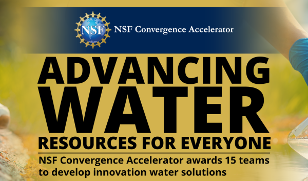
SEFS Professor L. Monika Moskal and researcher Meghan Halabisky were among 15 multidisciplinary teams awarded funding through the National Science Foundation (NSF) Convergence Accelerator program. Their project, Mapping the Nation’s Wetlands for Equitable Water Quality, Monitoring, Conservation, and Policy Development, is part of an NSF effort to develop innovative technologies and solutions to improve U.S. freshwater systems totaling $9.8M of funding. The project, led by Moskal, will integrate advances in wetland science, computing, remote sensing, and geospatial tool development to predict where wetlands are and the services they provide, and accelerate the development of a national-scale wetlands decision support tool for the United States.

Professor Moskal was also awarded the 2023 Estes Memorial Teaching at Geo Week 2024, highlighting achievements in lidar, geospatial, and photogrammetry work.

NSF banner for advancing water - resources for everyone - NSF convergence accelerator awards 15 teams to develop innovation water solutions with a picutre of a scientist sampling water
Credit: U.S. National Science Foundation

New lidar product of global building height launches, led by SEFS Alumnus Guang Zheng and Professor L. Monika Moskal

Seattle area building height in 2020.

In his time at UW, Guang Zheng was the first PhD student in SEFS Professor L. Monika Moskal’s Remote Sensing and Geospatial Analysis Laboratory. Last year, Zheng returned as a visiting professor from Nanjing University to work with Moskal on using a space-born lidar sensor, the Global Ecosystem Dynamics Investigation (GEDI), on the International Space Station to produce global maps of building heights.

The data, which maps building height at a 150-meter scale, is now available on Google Earth Engine. It has applications in urban studies across many fields, including climate, environmental, ecological, and social sciences, and provides new insights into urban developments, including socio-economic development, urban heat islands, climate mitigation, and carbon policies. With over half of the world’s population living in cities and about 75% of total carbon emissions annually originating from urban areas, high-resolution, global data on building height will aid in many research efforts aimed at understanding the consequences of built environments.